
Garmin Tread: Off-Road Navigation
Garmin Tread: Off-Road Navigation
Garmin produces a variety of navigation devices for motorcycles, primarily focused on paved roads. For off-road use, they previously only offered the **Montana** or **GPSMap** series, which are intended more for hiking. Routing works well only on the GPSMap series, but its display is very small and unsuitable for a motorcycle. The Montana generates motorcycle routes almost exclusively on paved roads and does not provide real-time traffic updates or road closure information.
In most of Western and Central Europe, off-road riding is problematic. Almost everything truly necessary is paved, leaving mostly service or farm roads—frequently with restricted access or dead ends. How do you find the ones that are suitable for motorcycles?
Off-Road Riding Ethics
One approach is trial and error, turning around, and backtracking. It is essential to respect no-entry signs and avoid trails that run through cottage settlements or popular recreational areas.
Another option is obtaining a proven route from someone who has already ridden it. However, I find the scenario where someone shares a route with thousands of people online completely unacceptable. Hundreds of people show up at the exact same location, and some fail to act respectfully, leading to legitimate frustration among local residents.
I want to enjoy off-road riding without disturbing others. Therefore, I choose less inhabited areas (which can be challenging in the Czech Republic, but it is doable). I treat people (and animals) with respect—slowing down, stopping, or shutting off the engine so as not to spook horses or dogs. I strongly condemn reckless riding through protected landscape areas, hillsides, and trails designated strictly for pedestrians.
Garmin Tread and Adventure Routing
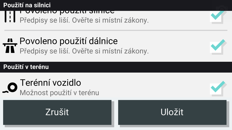
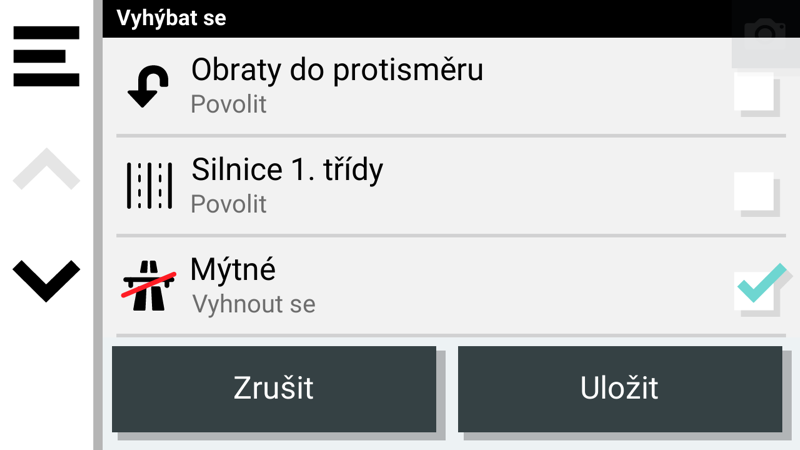
I was pleasantly surprised when I tested the new **Garmin Tread** series. On these devices, you can select your vehicle type and choose to allow or avoid **highways, main roads, and unpaved roads**.
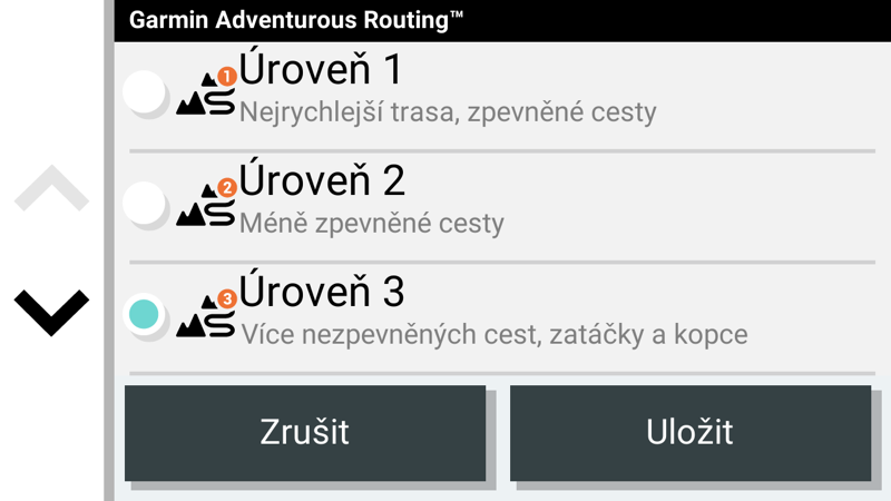
Furthermore, you can customize the routing preference (**Adventure Routing**), which features 4 level options, **ranging from prioritizing paved roads to maximizing the percentage of unpaved tracks**. The results are surprisingly good; the route guides you through a mix of paved and dirt roads, nearly all of which have no access restrictions. Generally, you need to look for routes further away from major cities—for instance, between Brno and Jihlava, the Tread leads you along beautiful dirt roads winding through meadows and forests.
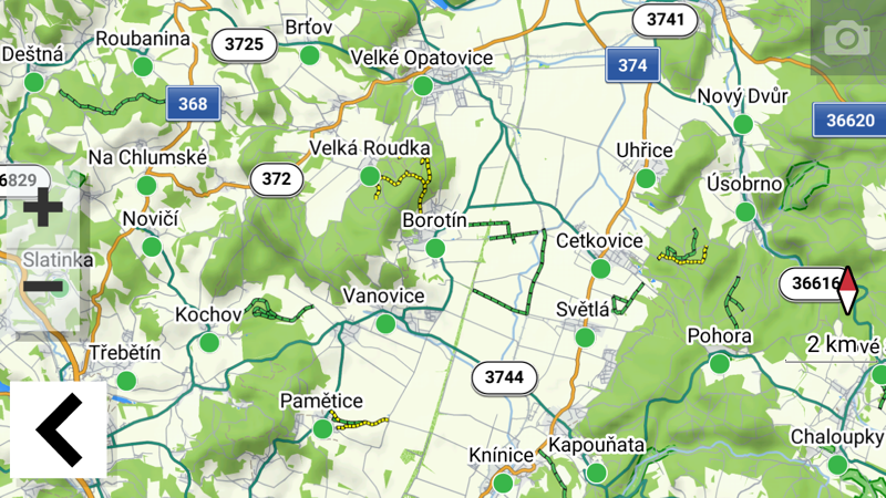
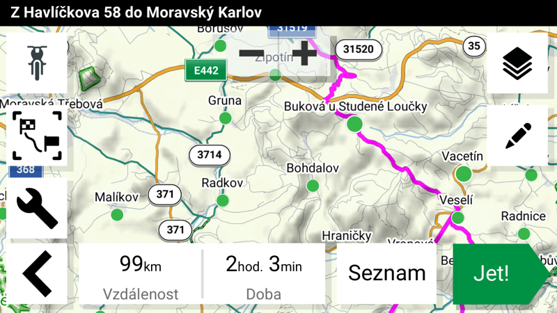
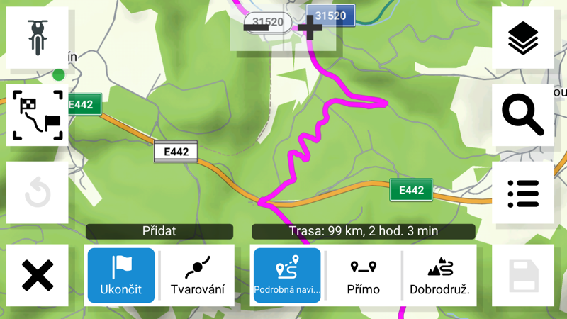
The unit can also be used on the road—if you avoid unpaved roads, it navigates on asphalt, ranging from side roads to highways depending on your Adventure Routing intensity. It also includes real-time information on closures and traffic jams, making it virtually ideal for those who enjoy off-roading.
Preloaded maps include **all of Europe, North Africa, and the Middle East**, and you can download the USA and other regions for free!
Performance and Tread Variants
Compared to older navigations in the Zumo lineup (3xx, 5xx, BMW Navigator), map rendering and route calculation are noticeably faster. However, if you set the device to prioritize dirt roads, calculation slows down drastically. Finding a suitable path is far from simple, so it is best to calculate routes up to 50 km at a time; longer routes take a considerable time to compute and recalculate if you stray off course. In such cases, you often need to pull over and give the device a minute or two to recalculate.
This applies to the entry-level **Tread Base Edition**. It is essentially a twin of the Zumo XT with different system settings (tuned for off-road) and a **Group Ride** feature (showing other paired riders using a Tread on your display).
The **Garmin Tread – Overland Edition** is a completely different story. It is practically a **tablet powered by Android 10**, running Garmin software as an application. Everything operates significantly faster. You can also run most standard Android apps on it (even un-officially via manual APK installation). I tested apps like Mapy.cz and OsmAnd, and everything worked flawlessly.
The Tread Overland is much larger, featuring an **8" display** that is wonderfully clear, though its size and weight have grown considerably—looking almost comical on certain motorcycles. Compared to the Tread Base, the mount and mounting system are also different and much more robust. It comes standard with a power cable ending in a cigarette lighter plug, so on a motorcycle, you will either need this socket installed or strip the cable to hardwire it directly.